Blue Heron Watershed: Staten Island Bluebelt
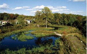
The Blue Heron Watershed is one of 16 watersheds in the South Richmond, Staten Island Bluebelt. Using best management practices (BMPs) including constructed wetlands, meandering streams, and other features, we provided a natural drainage corridor to convey pollutants while promoting terrestrial and aquatic life.
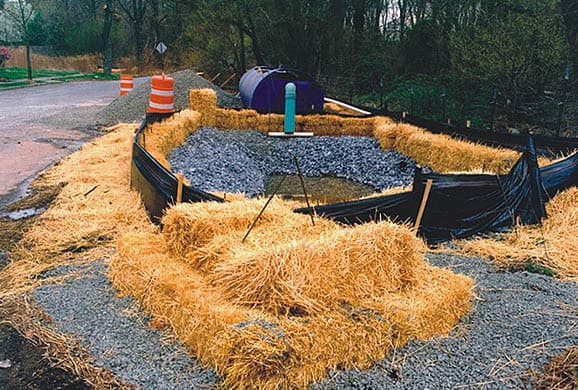
The BMP consists of a shallow marsh wetland/extended detention pond system. This BMP was constructed on an existing disturbed pond and stream corridor that received storm sewer runoff from adjacent areas. This BMP captures the stormwater and detains it, which reduces suspended solids and pollutant loading discharges downstream. The BMP’s overall function is stormwater flow attenuation and water quality enhancement.

Sandeep Mehrotra brings a wealth of expertise related to climate resiliency adaptation, green infrastructure design/stormwater Best Management Practices, and environmental review and impact analysis.
Related Topics:

Other BMPs in the Blue Heron Watershed include:
An extended detention pond, situated on a 1-acre site in the northwest corner of Blue Heron Park, owned by the NYC Department of Parks and Recreation.
Prior disturbance along unbuilt roads had created two shallow ponds from what had been one, and the uncontrolled runoff flowing directly into the ponds had caused extreme scouring along their banks. The completed project established a controlled stormwater discharge point to reduce erosion, built an overflow weir to regulate discharge, and restored and enhanced the wetland vegetation.

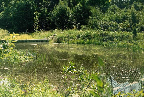
A shallow marsh system with extended stormwater detention.
Prior to its construction, stormwater runoff flowed from two streets into a standing pool at the intersection of the streets, and this untreated stormwater flow caused excessive erosion and high velocities, resulting in deterioration of existing downstream culvert. This BMP attenuates the stormwater flows and provides water quality enhancements. Also included was the construction of control weir with a pedestrian bridge.
Jansen Pond and an unnamed pond to the west.
Prior to BMP development, the ponds were linked by an undersized and deteriorated pipe, which resulted in flooding. The BMP consists of a micropool in Jansen Pond with an improved outlet structure that ultimately conveys low flow to the pond on the downstream side. This BMP handles approximately 51 acres, principally from the streets to the south. Also, a flow splitter that conveys the storm flow into the storm sewer system in the street is located under Barclay Avenue, The function of this BMP is to control and improve conveyance of storm water flow and provide flood attenuation.

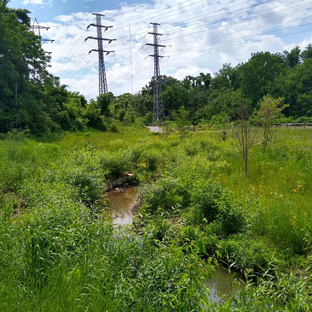
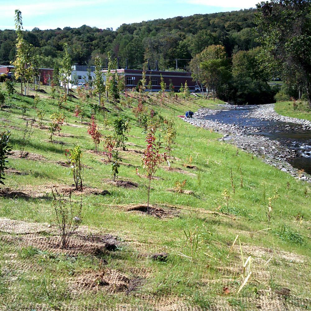
Creation of approximately 550 linear feet of shallow stream corridor through a woodland, with a floodplain.
Pool/riffle morphology for the stream was created along with meanders to slow stormwater velocities. The creation/realignment of the stream corridor has resulted in reduced flooding and erosion downstream, and increased the capacity of this stretch of stream to accept the additional flow conveyed to this location from another BMP.
Two outlet stilling basins located near the junction of the central and western branches of the main stream through Blue Heron watershed.
The BMPs are lined with natural fieldstone and serve to attenuate the high discharge velocities of stormwater exiting the piped system.
Project Outcomes and Benefits
- BMPs include constructed wetlands, meandering streams, and other features that provide a natural drainage corridor to convey stormwater runoff. They also remove pollutants and promote terrestrial and aquatic life.
- The Blue Heron Watershed includes approximately 265 acres. The constructed BMPs include three stormwater wetlands with extended detention, an existing pond retrofit, a stream creation/realignment, and two outlet stilling basins.
