Gwinnett County Department of Water Resources Dam Services
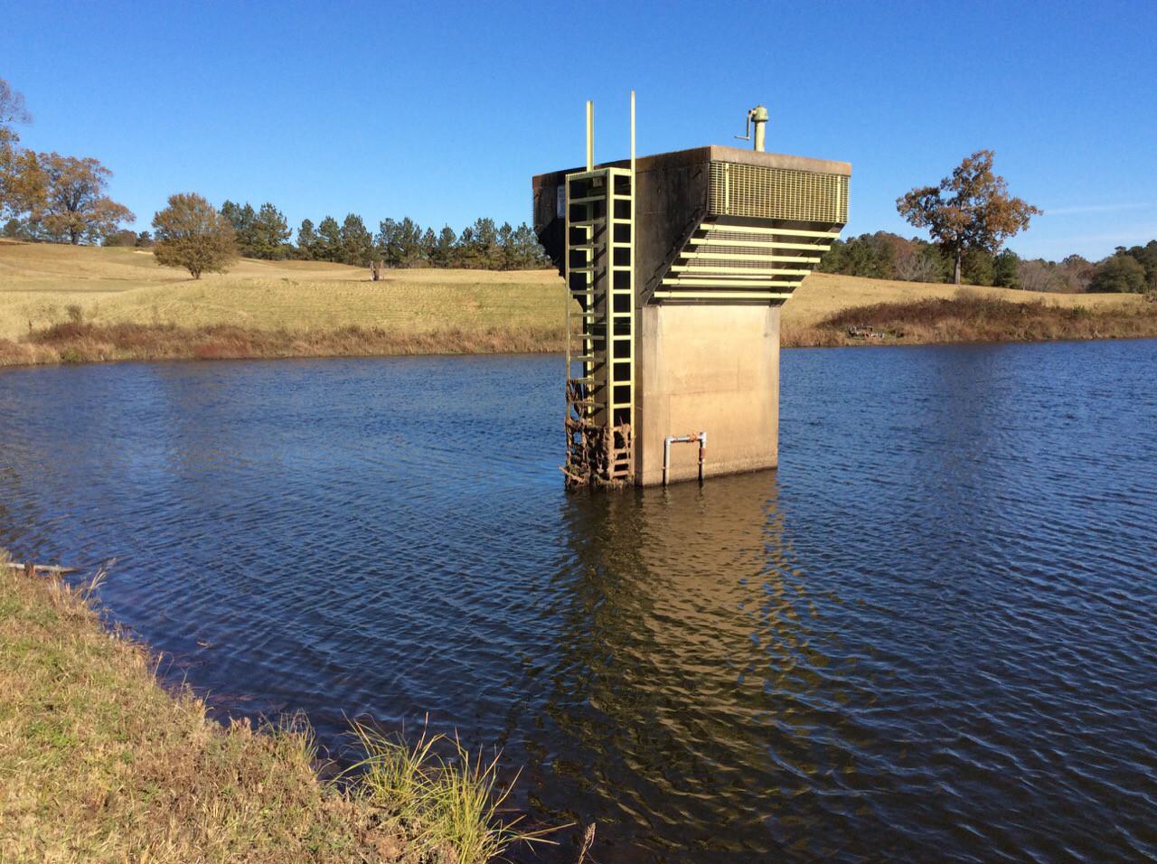
Hazen performs quarterly visual inspections of all 25 dams utilizing Esri-based mobile data collection software (Survey123 and ArcGIS Collector) to identify deficiencies, and 360° photography to capture the general condition of the dams. Mobile data collection provides GCDWR with an interactive web-based map hosted on ArcGIS Online enabling them to instantly view georeferenced inspection photos, analyze data, and produce maintenance lists. The 360° photos are used to create virtual tours, providing GCDWR with an all-encompassing reference of the visual condition of each dam and serving as a tool to improve communication between inspectors, engineers, and maintenance crews.
The prioritized maintenance list developed from the visual inspections is continually being updated and further refined to not only include simple maintenance items, but also small project recommendations and large, rehabilitation-level projects. Cost estimates for identified projects are being developed to assist in Capital Improvement Planning and budgeting.
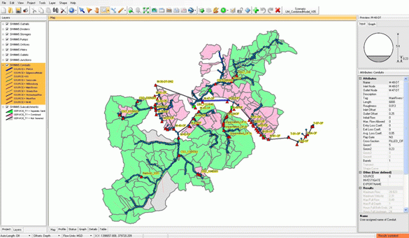
Hazen also provides as-needed engineering assessments, rehabilitation design plans and technical specifications, and construction management to GCDWR. One of the assignments involves updating the breach inundation mapping and Emergency Action Plans (EAPs) for each of the High Hazard structures, which includes hydrologic analyses, hydraulic modeling of outlet control structures, 2D breach modeling utilizing LiDAR data, GIS inundation mapping, and EAP development.
Working closely with the client, Hazen is in the process of developing Operation and Maintenance (O&M) Manuals for each of the dams. Development of these documents involves extensive research and knowledge of the existing structures and their history. Hazen has reviewed historic plans and reports for each of the structures as provided by GCDWR and the Georgia Safe Dams Program. Hazen is developing routine maintenance standards for the structures and outlining timelines for periodic maintenance items. The end goal is to create a single repository for all information pertaining to each dam in a format that allows GCDWR to moves their Dam Management Program into the future.

Jeff Powers has served as a technical lead specializing in high hazard dam design and rehabilitation, river and floodplain hydraulic analysis, culvert and bridge analysis, and levee rehabilitation.
Related Topics:
Quarterly Dam Inspections
Hazen performs visual inspections of all 25 dams utilizing Esri-based mobile data collection software to identify deficiencies, and 360° photography to capture the condition of the dams.
Project Outcomes and Benefits
- Quarterly dam inspections utilizing Esri-based mobile data collection software and 360° photography, which sync seamlessly to the client’s ArcGIS Online interactive map.
- Identification of and comprehensive engineering services for projects needed to bring structures into compliance with current standards.
- Development of O&M manuals, which serve as a single repository for all information pertaining to each dam.
- Development of EAPs including H&H analysis, 2D breach modeling, inundation mapping and tabletop workshops with local emergency responders.


